- Get link
- X
- Other Apps
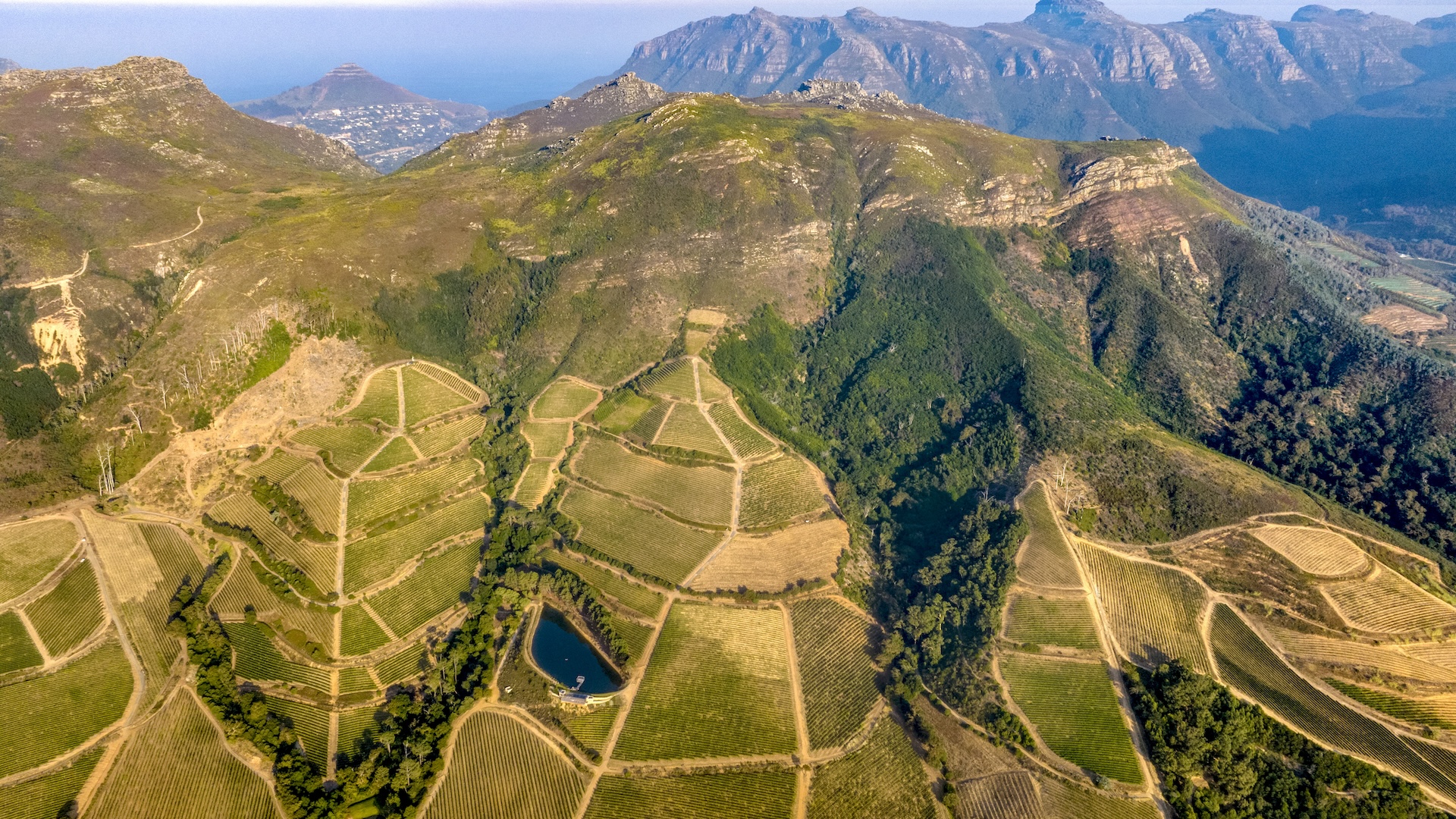
South Africa's Rising Land: Drought Unveiled as the Culprit
For over a decade, scientists have observed a peculiar phenomenon in South Africa: the land has been steadily rising. Initially, the prime suspect was a mantle plume, a column of hot rock rising from deep within the Earth. However, a recent study published in the Journal of Geophysical Research: Solid Earth, sheds new light on this geological mystery, pointing towards a more immediate and impactful cause: drought and water loss.
The Link Between Water Loss and Land Uplift
Researchers have discovered a compelling correlation between periods of intense drought and the uplift of the South African landscape. According to the study, led by Makan Karegar, a geodesist at the University of Bonn in Germany, South Africa rose an average of 6 millimeters (0.2 inches) between 2012 and 2020. This uplift directly corresponds with the country's struggle with severe water shortages, including the infamous "Day Zero" drought that threatened to shut off Cape Town's municipal water supply.
Unlocking the Mystery with GPS Data
The team employed a novel approach, utilizing data from permanent GPS stations strategically positioned across South Africa. These stations are incredibly precise, capable of measuring minute changes in land height down to fractions of a millimeter per year. By analyzing this data, the scientists developed a model that directly links the uplift to fluctuations in the country's water storage.
Key Findings:
- The study revealed that as water reserves in surface reservoirs, soil, and groundwater diminished, the land responded by rising, similar to how memory foam bounces back after pressure is released.
- While regional and seasonal variations were observed, the overall trend indicated a consistent uplift across most of South Africa.
- Areas near depleted water reservoirs experienced even more significant uplift, with some regions rising as much as 0.4 inches (10 mm) during the drought.
A Surprising Revelation
Christian Mielke, a geodesist at the University of Bonn and co-author of the study, expressed surprise at the widespread nature of the uplift. "The biggest surprise for us was that we saw an uplift over most parts of South Africa," Mielke stated. "We were expecting that this would probably just affect regions close to cities," where reservoirs are concentrated.
Validating the Model
To ensure the accuracy of their findings, the team compared the GPS-based measurements with existing models of water storage and loss, including satellite measurements and climate data. The results showed a strong agreement, reinforcing the conclusion that water loss is the primary driver behind the land uplift.
The Future of the Land
The good news is that this uplift might not be permanent. As Karegar suggests, with sufficient rainfall and the replenishment of water reserves, the land could potentially begin to subside. However, determining the precise timeline for this reversal will require further data collection and analysis.
Bill Hammond, a geodesist at the University of Nevada Reno, who was not involved in the study, emphasizes the need for more long-term data. With only 30 years of GPS data available, much of which coincides with drought conditions, it remains challenging to fully disentangle the effects of drought from potential contributions from the mantle plume.
Implications for Drought Monitoring
Despite the uncertainties, the study highlights the potential of using GPS measurements as a powerful tool for monitoring drought conditions. Karegar points out that in regions with denser GPS station networks, this approach could significantly enhance water management strategies.
This groundbreaking research provides a crucial understanding of the intricate relationship between water resources and the Earth's crust. By identifying drought as a major factor in South Africa's land uplift, the study not only solves a geological puzzle but also offers valuable insights for future water management and drought mitigation efforts. It serves as a stark reminder of the profound impact that climate change and water scarcity can have on our planet, underscoring the urgency of sustainable resource management.
Tags: South Africa, Land uplift, Drought, Water loss, GPS data, Cape Town, Constantiaberg, Climate change, Africa, Elevation gainSource: https://www.livescience.com/planet-earth/the-land-under-south-africa-is-rising-every-year-we-finally-know-why
Comments
Post a Comment